COUNTY DURHAM: Mickle Fell (2,585 feet/788 metres)
54° 36′ 48″ N, 2° 18′ 18″ W
The highest point in County Durham is a controversial matter to me. I say controversial, by which I mean it’s something we Yorkshire folk like to moan about. It is true, we like having things to moan about, we’ve got it down to a fine art, but when it comes to our borders and boundaries, we’d rather be in control of our own land. Yorkshire’s borders had been relatively stable since the Kingdom of Jorvik over 1000 years ago, and reached as far North as the River Tees.
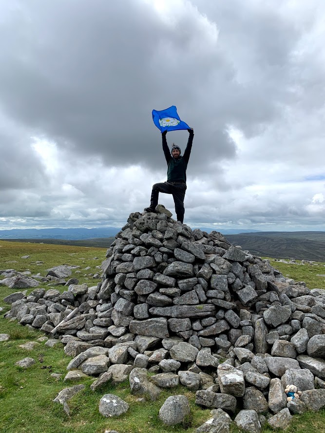
For all that time, the highest point was a beautiful summit by the name of Mickle Fell. From where, in my opinion, you will find the most expansive views in England. From the edge of the fell, you can see the Moors, the Dales, Snowdonia, the Lakes, Galloway, the Borders and the Cheviots. It was a fine vantage point for Yorkshire to hold.
In 1974, for reasons to be discussed elsewhere, our county was torn into pieces, and worse our extremities were given charitably to our neighbours. Mickle Fell is no longer in Yorkshire, and stands as the highest point in County Durham. It’s a bugger to get to, and involves procuring a permit from the Ministry of Defence to wade through miles of barren bog used for army training. However, it is worth it. It may be in Durham, and you may spend most of the day the other side of the border in Cumbria, but nowhere else has a greater view of Northern England.
A 12 hour round trip, of which 11 hours are spent shin deep in sheep shit are worth it for an hour to stand high above my country in admiration and awe.