SOKE OF PETERBOROUGH: Racecourse Road (266 feet/81 metres)
52° 37′ 32″ N, 0° 28′ 19″ W
There really shouldn’t be anything controversial about the Soke of Peterborough’s inclusion on my county tops. It’s just frustrating having to explain why and how it got there in the first place. That’s after repeating myself several times because people really aren’t sure what I’m saying. “Soak?” “Zoke?” “What?”
Like many regions and counties, the history lies in the convoluted world of land ownership and religious authority. Indeed, to this day the Church of England Diocese of Peterborough still uses the Soke’s original boundaries.
Much of that boundary is irrelevant and hard to distinguish in the flat sprawling fenland, but after the Local Government Act of 1888, the Soke of Peterborough was it’s own county until it merged in 1964 to become Huntingdon and Peterborough, before that was swallowed up by modern Cambridgeshire.
It’s easy to race through the Soke on the ever improving A1, and indeed I often have. It is also easy to get off at Stamford and explore some wonderful Anglian towns and villages.
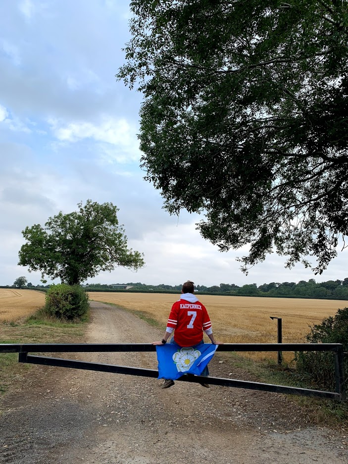
Skirting the border of Northamptonshire, I found myself at one end of a long straight road. The hill is imperceivable, the point is unmarked, and most probably unvisited. But for a few blissful minutes on a late summer’s day, I was the highest man in the Soke of Peterborough. I can’t explain the feeling. I struggle to explain the county itself. Presumably that’s why it’s name is becoming lost in time. I hope I have helped it live on a little longer.